UK farmland at risk as more rain expected

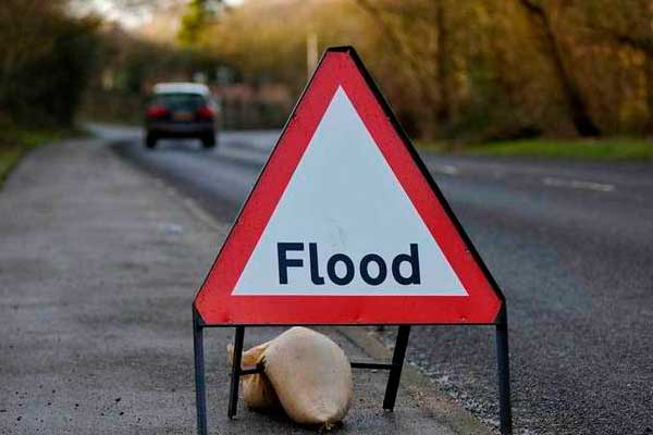
The risk of floods continue to worry UK farmers as larger rivers start to reach their peak following another rainy weekend across much of south and west Britain.
Communities in Dorset and Oxfordshire are urged to remain prepared for flooding as peak flows move along the rivers Thames, Dorset Stour and Frome. Significant flooding is possible in the lower reaches of these rivers, said the Environment Agency in an update on Monday (6 January).
Ongoing river flooding is expected on the Somerset Levels and rivers in the south east remain very high after recent rainfall.
River levels on the Severn will also remain high until Tuesday (7 January).
High tides are now declining. But due to large waves and a storm surge, there remains a coastal flood risk for much of the North West, South West and south coasts of England and for parts of the Welsh coast.
In Scotland, the Scottish Environment Protection Agency (SEPA) said river levels had receded slightly on Sunday (5 January) but remained high. This meant rivers were likely to be responsive to more rain and so there was a likelihood of flooding to low-lying ground in areas where the there had been prolonged rainfall.
Rain was expected to return late Monday morning, said SEPA. The Met Office said many places would have a largely dry morning before showers became more widespread. Gales along the south coast would lead to large coastal waves. Some places would have frequent showers, leading to a risk of localised flooding. Tuesday would see windy, coastal gales with heavy and possibly prolonged showers at times. Wednesday would see sunny spells and isolated showers, before occasionally heavy rain arriving through the evening. Thursday would see sometimes heavy rain gradually clearing away eastwards.
 Beheer


 WP Admin
  Bewerk bericht