Estimating crop yields from space
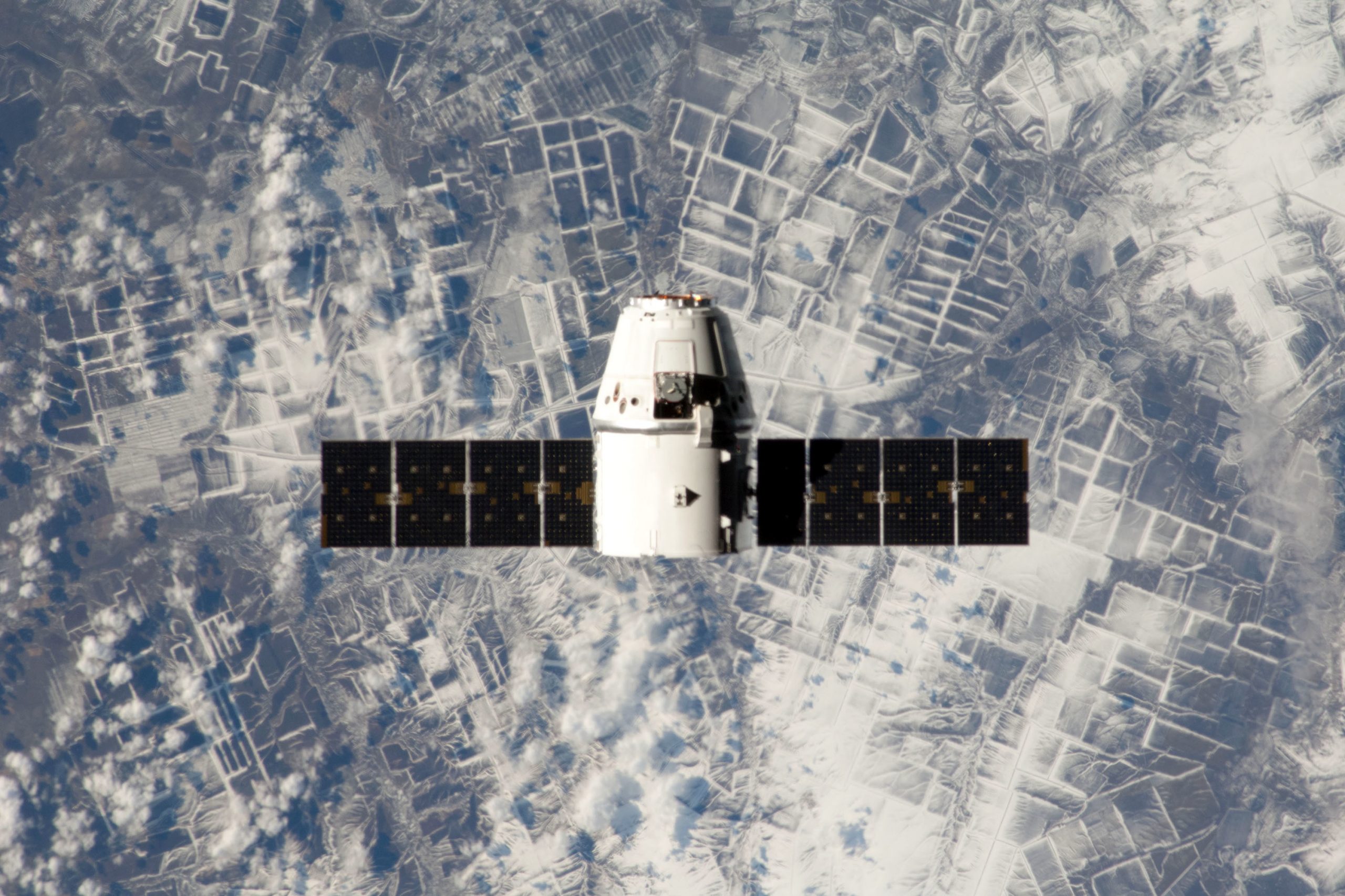
By using high-res photos snapped by a new wave of compact satellites, crop yield can be estimated from space.
This has been developed by researchers from Stanford’s School of Earth, Energy & Environmental Sciences. Stanford reports that this approach could be used to estimate agricultural productivity and test intervention strategies in poor regions of the world where data are currently extremely scarce.
Video: Using high-resolution satellites to measure African farm yields
Earth-observing satellites have been around for over 3 decades, but most of the imagery they capture has not been high-enough resolution to visualise the very small agricultural fields typical in developing countries. Recently, however, satellites have shrunk in both size and cost while simultaneously improving in resolution, and today there are several companies competing to launch refrigerator- and shoebox-sized satellites into space that take high resolution images of Earth.
In the new study, researchers set out to test whether the images from this new wave of satellites are good enough reliably estimate crop yields. They compared 2 different methods for estimating agricultural productivity yields using satellite imagery in Western Kenya.
Future Farming theatre at GFIA, focusing on crops! Read more here.
“We get a lot of great data, but it’s incredibly time consuming and fairly expensive, meaning we can only survey at most a thousand or so farmers during one campaign,” said study-co-author Marshall Burke, an assistant professor in the department of Earth System Science at Stanford. “If you want to scale up our operation, you don’t want to have to recollect ground survey data everywhere in the world.”
For this reason, the team also tested an alternative “uncalibrated” approach that did not depend on ground survey data to make predictions. Instead, it uses a computer model of how crops grow, along with information on local weather conditions, to help interpret the satellite imagery and predict yields. The researchers have plans to scale up their project and test their approach across more of Africa.
Source: Stanford
 Beheer



 WP Admin
  Bewerk bericht