UK alliance to start maize mapping in Afghanistan
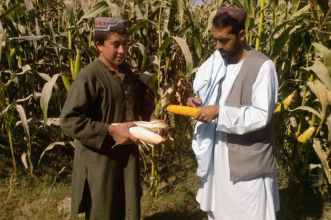
2 UK-based organisations have joined forces to map out potential areas in war-torn rural Afghanistan on which to successfully grow maize as a sustainable food for the local population.
In cooperation with the University of Surrey, Surrey-based Alcis, a leading Geographic Information Services company, has signed up to the national Sprint business support programme for a maize mapping and sustainable water use project in the country.
Sprint (SPace Research and Innovation Network for Technology) is supported by Research England and the Scottish Funding Council. It is being delivered by a consortium of five of the UK’s leading space universities, led by the University of Leicester and including the University of Edinburgh, The Open University, University of Southampton and University of Surrey.
Our big data processing capabilities allow for the regional upscaling of our analysis. Alcis knows how to use this information to inform decision making and have a real-world impact.”
Understanding agricultural cycles and practices
Sprint will provide Alcis with access to the geospatial data processing expertise from the University of Surrey, enabling them to analyse satellite images that will improve the understanding of agricultural cycles and practices in rural Afghanistan.
The project will develop a method for mapping maize crops in Afghanistan in past crop cycles, without the need for ground truth data, using ESA’s Sentinel 1 and 2 imagery, and knowledge of the nature of maize growth and climate variables.
Climate change impact on water
It will also develop a new spatial product, derived from globally available Earth Observation data, that will inform on the climate change impacts on water resources in Afghanistan, the water consumed by changing agricultural practices and the sustainability of this consumption in the context of climate change.
Using remotely sensed satellite data, the project will develop signatures for the maize crop based on its phenology and the local meteorological measurements.
These signatures will be used to identify this crop at scale across the north of Afghanistan. Following successful trials, the project will then seek to develop this data across the entire country.
…we’re expanding our offerings with other crops in other countries, increasing our footprint geographically…”
The project will be funded by a grant from the £4.8 million Sprint programme that provides unprecedented access to university space expertise and facilities.
Tim Buckley, Chief Operating Officer at Alcis said: “Alcis’ clients work in fragile, conflict-affected areas, including rural Afghanistan, where getting good quality data is a major challenge.
“Our driving force is using cutting-edge technology for community-based applications to change people’s lives for the better. Longer term, we’re expanding our offerings with other crops in other countries, increasing our footprint geographically, and we believe that this Sprint project will be a springboard into new markets for us.
Our relationship with Surrey will enable us to accelerate and develop our processes to make them even more efficient.”
“The University of Surrey has such a strong reputation for space research, with a rigorous approach to data analysis and a willingness to experiment. The knowledge, information and theory that are the bedrock of academia can be of vital use in real-world applications, particularly in the space sector.
“Our relationship with Surrey will enable us to accelerate and develop our processes to make them even more efficient.”
Belen Marti-Cardona, Associate Professor in Earth Observation and Hydrology at the University of Surrey added: “We have consolidated experience of projects exploring the sustainability of water resources in the context of climate change and expanding farmlands in developing countries.
Sustainable Livestock FarmingAchieving sustainability goals in livestock farming, needs to be a collaborative effort between policymakers, farmers and consumers. For in-depth articles on this topic
“While the Afghan environment poses some new challenges, we share in Alcis’ excitement and their vision to tackle them through data analysis.
“We bring expertise in the synergistic combination of different Earth observation data types and crop phenology to create new information on food production and water resources use.
“Our big data processing capabilities allow for the regional upscaling of our analysis. Alcis knows how to use this information to inform decision making and have a real-world impact.”
Alcis
Alcis is a geographic information services company that works to improve the lives of the world’s most vulnerable people through innovative and world-class Geographic Information Services. It specialises in supporting fragile and conflict affected states.
The company was founded in 2004 to support UK government efforts around crop production in Afghanistan, where, through the use of remotely sensed imagery and other geographic data, it was able to provide unique insights on what was happening on the ground.