“Can that satellite look into your barn…”
Reading the weekly update of Allaboutfeed, an article about the EU Harvest 2010 caught my attention.
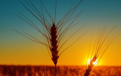
In this article, analists are forcasting the yield of corn, wheat etc. Data that are of huge interest for the feed-industry.
Looking at this I want to share with you a great Dutch solution called MijnAkker.nl. This company takes the satellite images of satellites which are already flying around us for wheaterforecasts and other applications. They transform these satellite images into information about how the crops in the field are performing.
These images could tell the farmer about biomass-production on the field? The C02 intake? The Leave Area Index (LAI) or the Normalized Difference Vegetation Index (NDVI)? Is this important to now for the farmer then? Yes it is, because the NDVI says something about how many sun is absorb for photosynthesis. The LAI is an index for vitality of the crop. Next to Growth there are indicators for Water, Minerals and Yield.
What about the costs? Knowing that the costs of using the system for a Dutch farmer can be break-even if it means that he can use less water to irrigate the crops – based on facts instead of gut feeling. But using this system could also be beneficial for the whole production chain.
I find it amazing to see how in this application the newest technology is used and made simple and easy to use for any farmer. This al based on scientific-models. I find it great to see how the information is simplified by using graphics instead of figures.
I would like to hear from you if there are other initiatives on this subject around the globe.
Join 26,000+ subscribers
Subscribe to our newsletter to stay updated about all the need-to-know content in the feed sector, three times a week.