Satellite show how crops grow
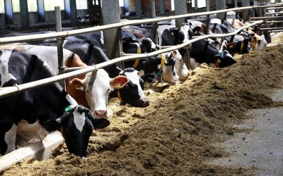
Researcher Lammert Kooistra and his colleagues at the Centre for Geo-Information in the Netherlands provide free daily online updates on the growth of Dutch vegetation. This information could be useful for farmers, for example, if they want to monitor their crops.
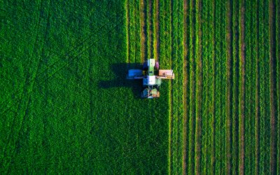
On to the website, you can pick a day and one click will show you the growth map of the Netherlands for that day. Bright colours show how much carbon was stored at a particular spot that day – weather permitting of course, because the vegetation does need to be visible from space.
The Centre for geo-information’s plant growth website is an example of a dynamic web-mapping service for displaying constantly changing data on the internet. Web mapping is the latest trend in the science of remote sensing: studying planet earth from an ever- expanding army of satellites in space. ‘But until this decade most of the data was hidden away in databases and only accessible to a select group of specialists’, explains Kooistra. This is changing, and both a new science and a new market have grown up around making the data available to a broader public.
Mapping plant growth from outer space is nothing new. NASA has been doing it for years. ‘But NASA does it on a global scale and doesn’t use local sensors, so there is much less detail’, says Kooistra. His plant growth map has a resolution of 250 metres, which is as sharp as the satellites can get it.
[Source: Resource Wageningen University]